View 25-06-11 in a larger map
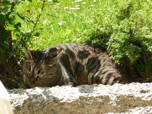
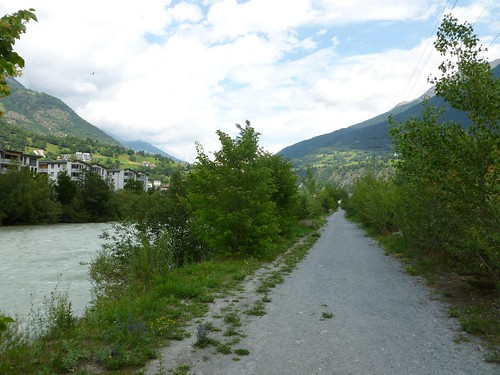
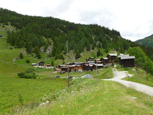
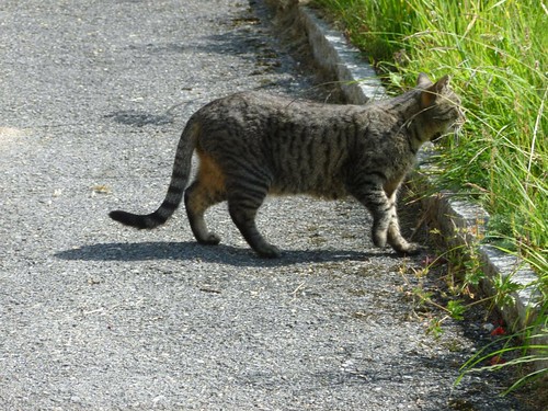
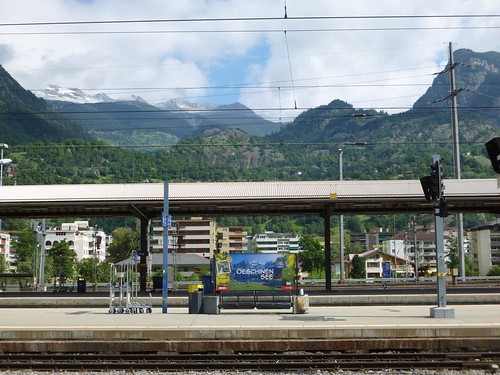
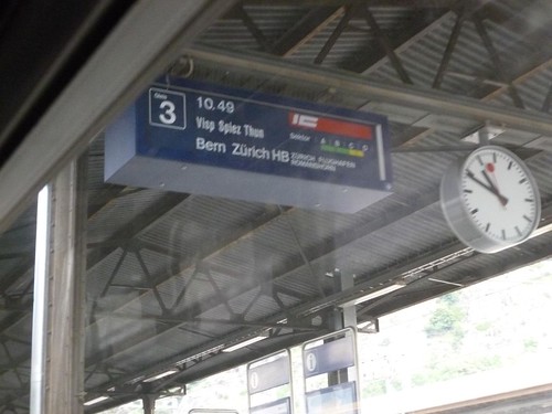
We awaken to a cool morning. Our friendly puss calls round for an early morning call at 8.30, and even wanders around the chalet, but my dad quickly puts her out. I fuss about with the tabby as she rolls on the paving slabs, much like I did yesterday afternoon. I think she knows we will soon be gone, as she takes a long time to wander off into the grass of the adjacent field. At 9.30, the proprietor calls round to settle up, then takes us into Brig. Glancing up at Belalp, we can see cloud hanging over the higher peaks. The sun is beaming down on platform 3, where we await the departure of the 10.49 train to Bern and Zurich. After we sit down on board the train, my pen runs out. As we still have 20 minutes before departure, I nip down into the station kiosk and get myself a new pen. I tend to take copious notes on long journeys, if only to keep the boredom at bay. We leave bang on time at 10.49 and the view of Belalp is soon lost round the corner below Birgisch and Mund. The GPS is not working, as it cannot track any of the satellite signals it requires to make a fix. We reach Visp at 10.56, a busy station. Five minutes later, we dive into the 22 mile long Lötschberg Basis Tunnel and leave the canton of Wallis and the Rhone Valley behind. Although we're now in a tunnel, I keep coverage on my mobile phone, with the cell indicator even changing with the name of the villages overhead. Goppenstein, Kandersteg and finally Frutigen - where we reemerge into daylight at 11.13. The country here is less stark, less mountainous as we roll on to our next stop, Spiez (pronounce: Speeyetz), closely followed by Thun (omit the H in pronounciation; the U is spoken as a double O in English). Both towns sit on the shores of the Thunersee [Lake Thun]. At 11.54 we pull into Bern, where we change trains for Basel. It requires a jaunt through the tunnel from one platform to another, but we make the connection in good time. Another hour on the train, with only a stop at Olten, brings us into Basel's SBB [Swiss] station. Our onward connection to Germany and Holland doesn't leave until 3.10pm, so we have loads of time on our hands. Four rolls for lunch cost a miserly 22 francs (£16), after which our session becomes a trainspotting and people watching exercise on platform 10. A French TGV, various pieces of Swiss rolling-stock, and a man who is rummaging through rubbish bins. Our ICE 104 pulls up just before 3pm, and requires cleaning. It has been on a journey of nearly 8 hours out of Amsterdam, and is going back there - with us on board. As the train is not very full, we relocated to a window seat, where we remain until arrival in Arnhem in 6 hours' time. We leave Basel SBB at 15.12, and Basel Bad [German] station at 15.22. It is fairly bright as we make our winding way north towards our first stop, Freiburg. To the east, the hills of the Black Forest rear up. In the west, the distant hills of the Lorraine area of France loom up. After the stop at Freiburg, at 15.54, we carry on to Offenburg at 100 mph. Beyond that town, which we reach at 16.23, the train picks up speed and heads for Karlsruhe at 160 mph. The sun slowly disappears as we proceed further north, reaching Karlsruhe at 16.56. We have now covered 125 mph since Basel. Karlsruhe has a veritable tram station beside the main station. It is quite funny to run parallel to an Autobahn at 160 mph, and watching the cars crawl along at 80 mph. Our next stop, Mannheim, is reached at 17.22. We have a lengthy interruption to our journey, for some 20 minutes. We have an early meal, in the shape of some pieces of pizza. Beyond Mannheim, we head north towards Frankfurt, passing the nuclear powerstation at Biblis. It appears to be raining as we approach Frankfurt Airport station, where we halt at 18.10. We now have 90 miles until the next stop, which will be covered in 40 minutes. On leaving Frankfurt, we quickly pick up speed and once more we leave the cars on the A3 motorway standing as we blast along at 170 mph. Speed increases to a max of 190 mph (308 kph) as we pass through numerous tunnels in the hillcountry between Frankfurt and Cologne. The GPS loses track of its satellites for much of that journey, as the above map shows. Rain commences in earnest as we head towards Siegburg/Bonn station, which we reach at 18.47. There was cloud over the hills. We reverse direction at Cologne, where we call in at 19.07. The remaining two hours to Arnhem are incredibly grey, wet and miserable outside. In Scotland they'd call it dreich. Dusseldorf, Duisburg and Oberhausen drift by, and after another 50 miles we cross the border into Holland at 20.36. We are ahead of schedule, meaning that other trains are given a green light in priority over our ICE train. We reach Arnhem at 20.53, and a taxiride brings us back to my dad's house some twenty minutes later.
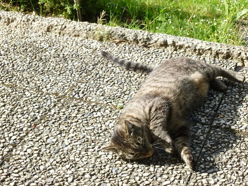
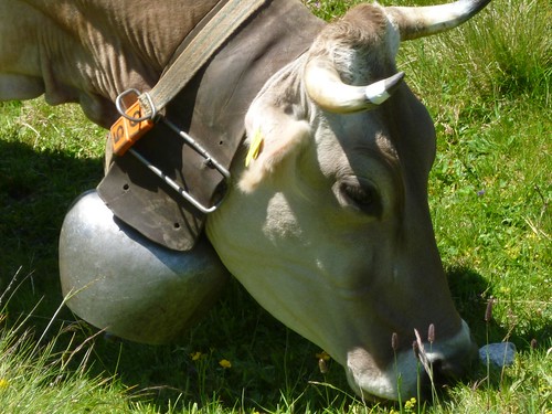
Farewell to our friendly puss
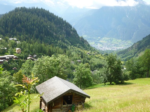
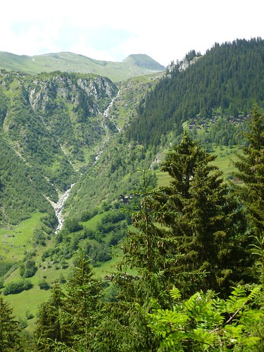
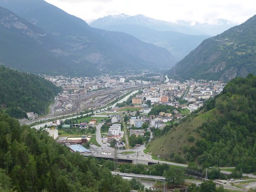
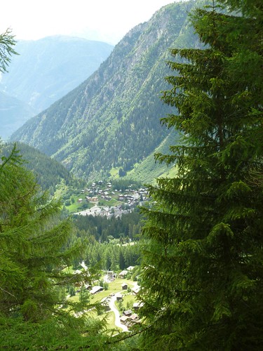
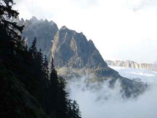
Last view of Belalp from Brig station
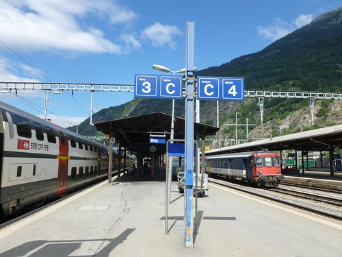
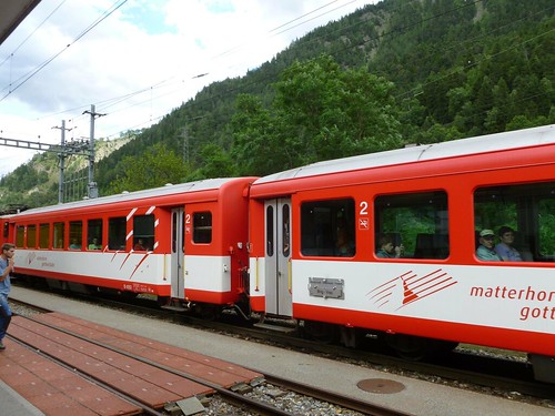
Waiting in the sun on platform 3
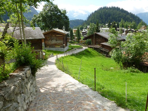
Leaving Brig
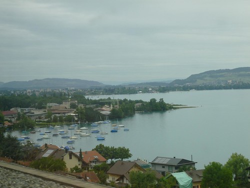
Lake Thun
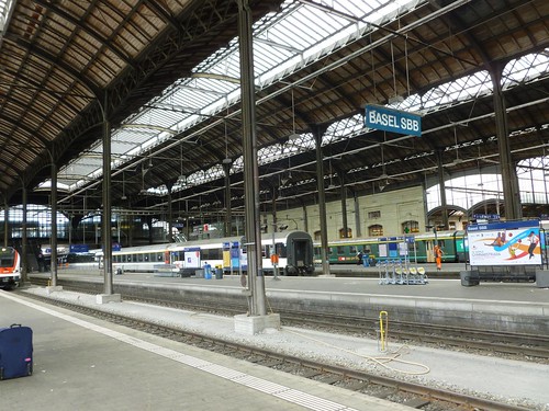
Basel SBB station
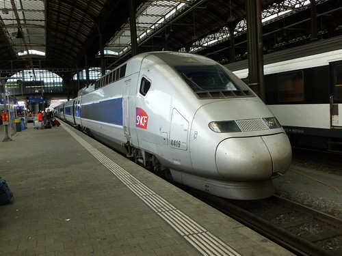
TGV train at Basel
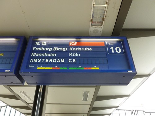
Departure board for ICE 104 at Basel